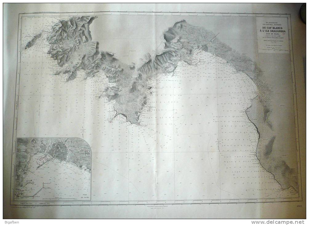
CARTE MARINE / 1958 / ESPAGNE BALÉARES, MAJORQUE du CAP BLANCO à l'ILE DRAGONERA, BAIE DE PALMA / 105 x 74,5 cm / TBE

CARTE MARINE / 1958 / ESPAGNE BALÉARES, MAJORQUE Du CAP BLANCO à L'ILE DRAGONERA, BAIE DE PALMA / 105 X 74,5 Cm / TBE - Nautical Charts
Place your mouse over the image to zoom Click to zoom Click to start the video

Join the collectors community

Register Login